Today featured another hair raising drive. A couple in Lake Powell turned us on to a cool route from the Lake to Bryce National Park via Boulder (Utah, not Colorado).
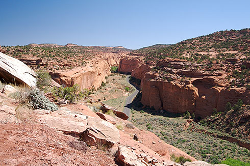
For those familiar with Rand McNally road atlases, we’re talking about “hollow gray lines”, which means “Other unpaved roads”. This was a fantastic drive through canyons, desert, and brush. And desolate. We saw two cars for the first 30 miles, then we hit traffic in Capital Reef, in the form of 10 cars.
The road started off paved, but quickly descended into gravel. Rough gravel at that—bone jarring rough. There was also a disturbing lack of signage, we had to guess a few times on which unpaved road to take.
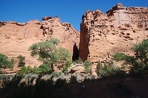
The path took us through Capital Reef National Monument and Escalante/Grand Staircase National Momuments. Both almost completely devoid of people and cars. We were treated to another death defying switchback road up a mesa. Fantastic.
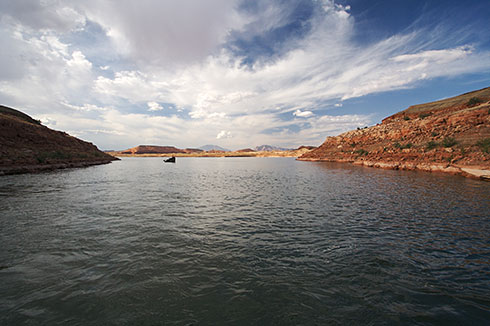
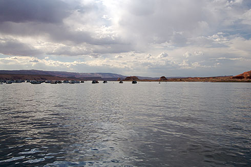
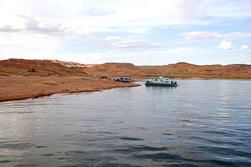
It really was quite unnatural. The lake is surrounded by hot, red rock barren desert, and not a good sized town for miles. The lake seems to be the local recreation center (I guess people must drive for miles to get here though) for motor boating, water skiing, fishing etc.
Basic statistics:
- Lake Powell is the 2nd largest man-made lake in the United States, created by Glen Canyon Dam, started in 1957.
- Lake Powell is 186 miles (300 km) long.
- Lake Powell has almost 2000 miles (3,200 km) of shoreline (more than the west coast of the United States).
We came from the east into Halls Crossing, expecting a town and lots of action. But found nothing but a car ferry to the other side of the lake at Bullfrog Bay. There was slightly more action here, but no groceries, so we camped and went to the local restaurant (at the one hotel) which was what we expected, pretty average.
We awoke the next morning with the intention to see what sort of water craft was available and at what price. The cheapest powered option was $150 for a half day, but that was booked out anyway, next option was kayaks, but it was going to be a 98 degree F (37 C) day with a LONG paddle to the nearest destination, so we continued on without hitting the water.
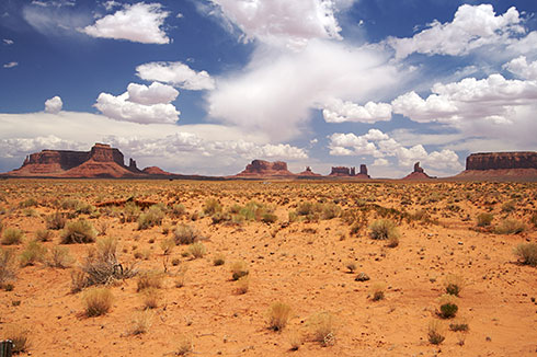
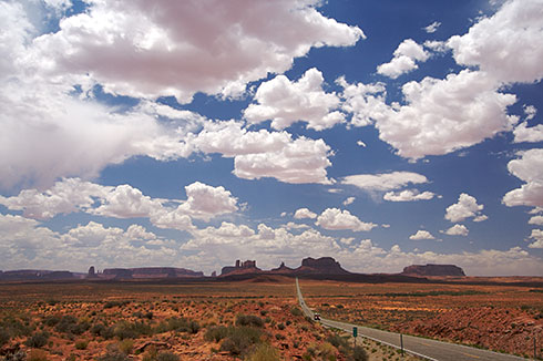
We left the Grand Canyon going east to go through Monument Valley. After you get out of the canyon, the road gets crazy, long and straight, through red dirt and rock. The road is surrounded by these amazing plaeaus.
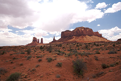
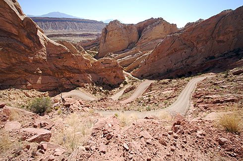
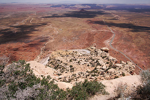
We then drove one of the craziest roads of my life. We were on route 261 in Utah. At one point, the road turned to gravel and went straight up a mesa using a series of switchbacks. The turns were tight and drop was severe—lots of fun. The photo below doesn’t really do it justice, but shows the view from the top.
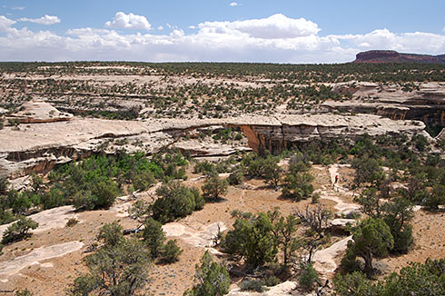
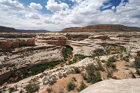
After that hair-raising road, we hit Natural Bridges National Monument. This is a tiny park with three big attractions—big natural bridges, some of the largest in the world. Geology lession: bridges are distinct from Arches, the former are formed by erosion from flowing water, the latter by seeping water.
We drove the nine mile (14 km) loop, but skipped the hikes. Fortunately, there were viewpoints for the three bridges. A nice one hour excursion.
We then drove about 60 miles through a desolate landscape. No towns, no gas stations, nothing. It was at this point that we realized that it would be a good idea to plan our refueling stops. It was blind luck that we had enough gas to get to Lake Powell.
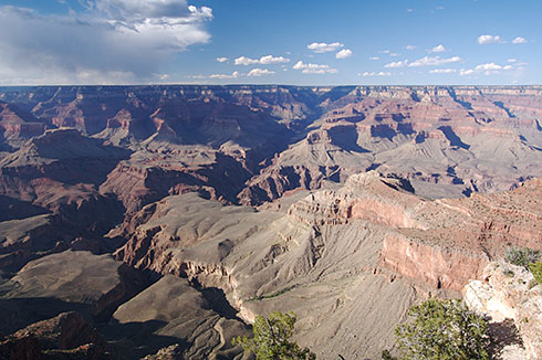
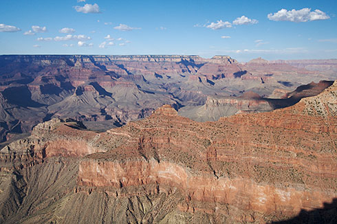
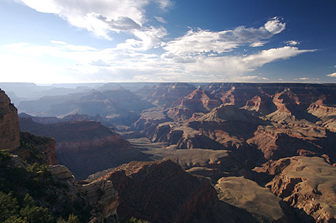
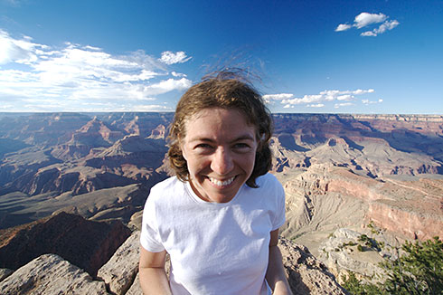
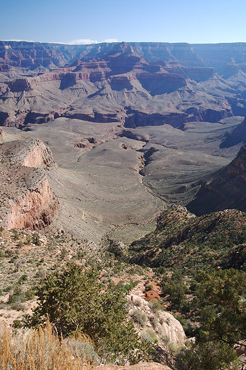
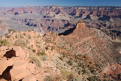
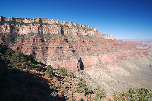
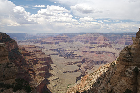
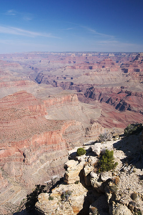
The canyon in general was bigger and definitiely wider than I expected. At points it gets to 18 miles (29 km) across (not long, across). It is 277 miles (365 km) long and 1 mile (1.6 km) deep. There are so many layers and mesas (spanish for tables) that it’s like giant stepping stones down to the Colorado River at the bottom. In addition to this, the colours were different to what I expected, it wasn’t just brown/ochre cliffs, there were multiple tree lines, and the mesas were sparsly covered in brush. It all made for an awesome scene.
Which trail to take? Of course we wanted to hike down into the canyon, so we did the South Kaibab Trail, 6 miles (9.7 km) round trip to Skeleton Point, elevation change of approximately 2000 feet (610 m). It was graded as “difficult”—they weren’t kidding—and we completed it in 6.5 hours. The climb back up the canyon was not trivial, but absolutely worth it.
Some thoughts and observations:
- The print design system (for brochures, maps and newspapers) is consistent across all parks and is actually really well designed. We are impressed.
- With the exception of Grand Canyon, parks staff have been helpful and friendly (more on that later)
- All the campsite bathrooms have been clean and not gross.
- Each campsite comes with a picnic table and fire grate - very sophisticated.
- The number of obnoxious campsite neighbors: only 1
- The Annual National Parks pass at $50 is an absolute steal, we’ve saved well over $100 so far
Only the Grand Canyon National Park dissapointed us. First, the guy at the entrance gate was obnoxious, telling us “it’s only the most visited national park in the world” to our question of “Do you know if the campgrounds are full?” Of course it wasn’t even 50% full so we were off to a bad start. Then we decided to walk from our campsite to the visitor center - not possible. This place is designed for tourist busses and not people on foot. And last but not at all least - the road layout/design and signage system sucked ass! Liz - they need you - go fix it it!
Anyway, besides the park management being crap - the actual canyon was not too bad :-)
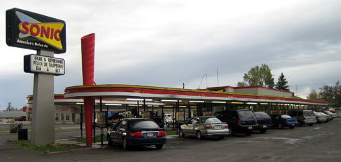
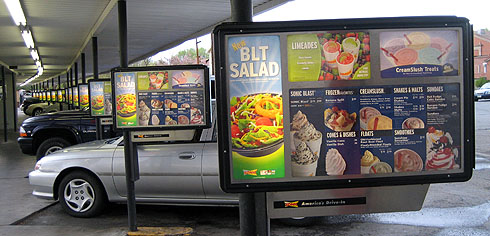
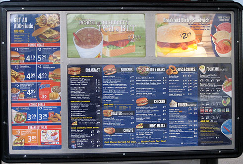
There is this place called Sonic that we keep stumbling across. The first time I saw it I got a bit excited. It’s one of those drive-in diner things you see in 60’s American movies and TV shows, where the waitresses on roller skates deliver food and drinks to your car window. As you would expect, I was dissapointed to discover the roller skates are no longer in effect.
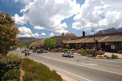
Sedona is a town beautifully situated between lush mountains and red rock, and we were there to have the best breakfast burritos eva (according to Michael Craig), which we did.
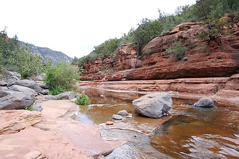
The road from Flastaff (a boring town we stayed at the night before), to and from Sedona was stunning. It was such a contrast from the red rock we had been seeing for so long, this was forrested hills and valleys with creekbeds that actually held flowing water! I was so excited to see trees and water we stopped off at Slick Rock State Park on the way through and watched people slide through the natural water slides.
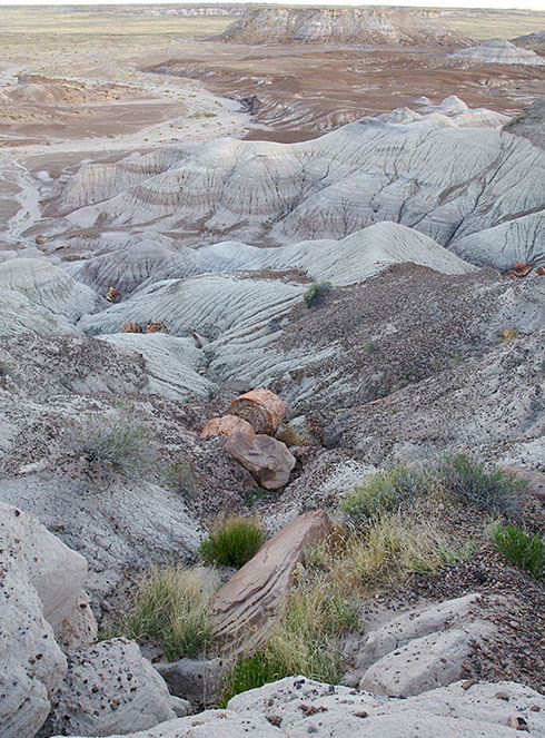
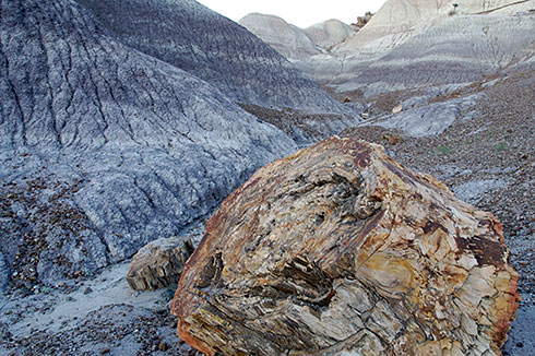
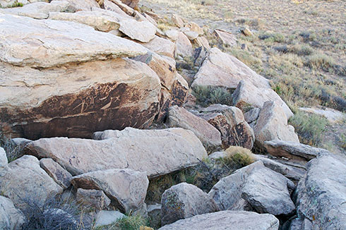
Petrified Forest National Park contains the petrified remains of 225 million-year-old trees from the Late Triassic. This means tree trunks that look like wood but are actually stone. Quite beautiful and a bit wierd really.
The northern part of the park is called the Painted Desert. The colorful mudstones and clays are composed of bentonite, a product of altered volcanic ash, and are really pretty and a bit eerie. We walked though a valley of pink, and grey coloured hills of clay and mud, and discovered why they call it “badlands”—eerie.
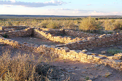
The park also had some old pueblo ruins and many dinosaur fossils. The light was failing as we arrived so only a few photos to share.
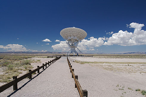
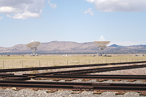
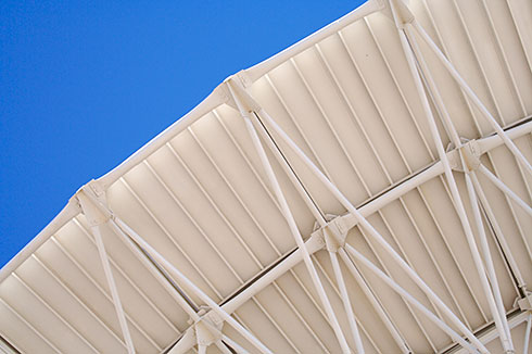
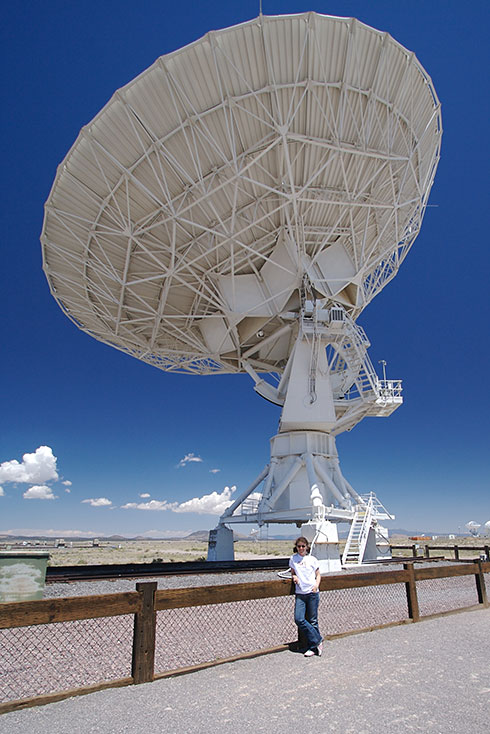
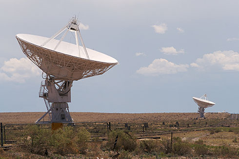
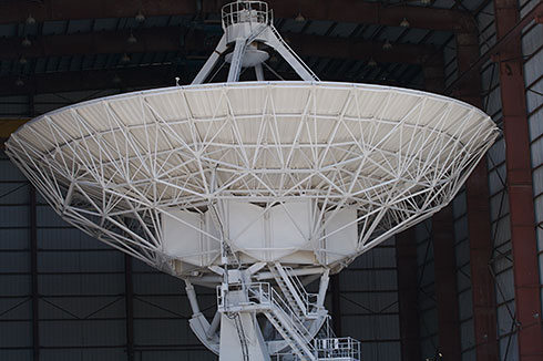
From Santa Fe, we took a slight detour to see the Very Large Array (VLA). The VLA is one of the largest radio telescopes in the world. There are 18 dishes, each 82 feet (25 m) in diameter, in a Y shape, with six dishes per axis. The dishes are on tracks so that they can bunch the dishes together or spread them out. Spread out, the total diameter is 23 miles (37 km), bigger than Washington DC. This was the configuration that was in place, when we visitied, making my photos less dramatic.
The VLA isn’t really set up for tourists, rather it is set up to actually get work done. Though there is an out-of-date vistor’s center and a small walking tour. The VLA was cool nonetheless. Oh, and if you’ve seen the movie Contact, with Jodie Foster, then you’ve seen the VLA.
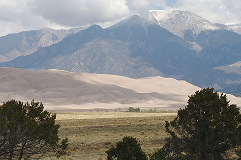
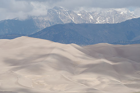
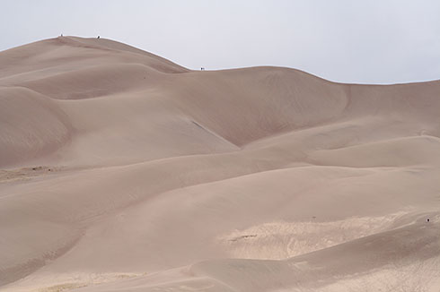
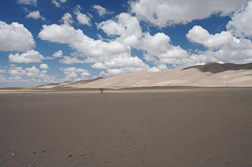
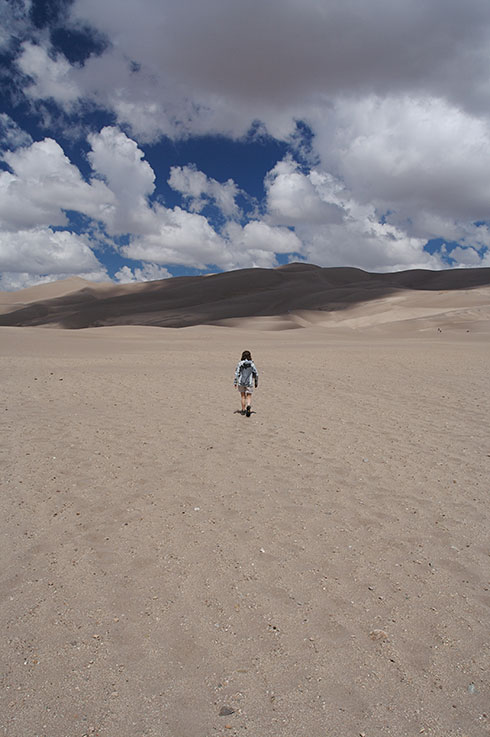
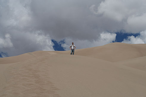
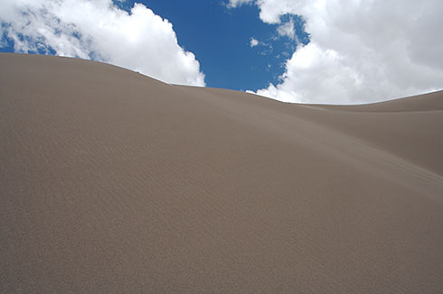
Great Sand Dunes is difficult to get a handle on. Put simply, it is a giant field of sand dunes in the middle of a valley. When you look at it from a distance, it doesn’t look that big. But you’re wrong. This thing is huge. The highest dune is 750 feet tall which, for those counting at home, is equivalent to a 75 story buidling. Like I said, huge. Plus it is just weird. The surroundings looks like the same arid landscape we’ve been driving through for a couple of days. But here, there is just a random giant field of sand dunes. Strange.
We arrived relatively late on a Monday, it was really windy, really cold, and about to rain. We snapped a few pictures and chickened out on camping. We fled to a cheap motel instead.
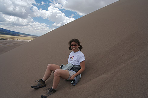
We came back the next day, the weather was beautiful. Beautiful enough for us to contemplate climbing the dunes. First you have to cross about 200 yards of flat, soft sand, which is a lot of work. Then you reach the “foothills”, the small dunes. We picked our own trail and started our climb, I would guess that we made it about 300 feet up before we got to a point where the sand was too soft for us weaklings to climb further. Amazing.
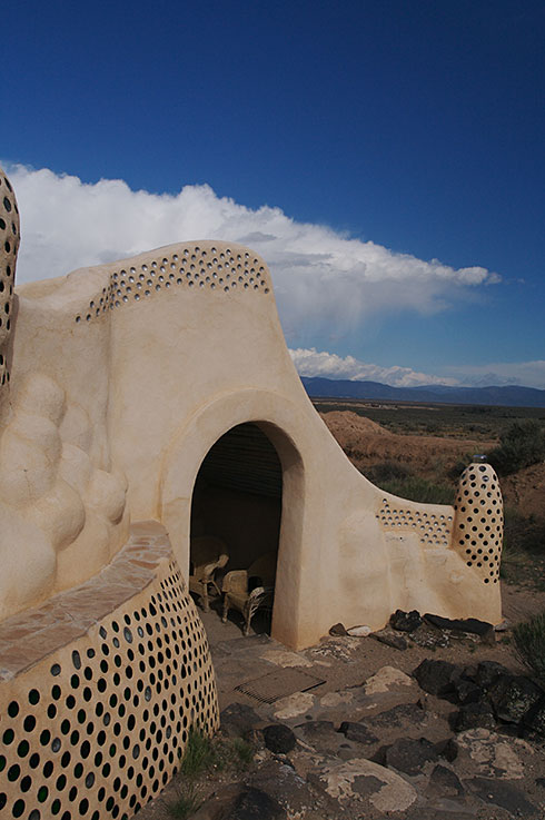
We entered Taos late in the day, and had a late lunch of tacos at a 100 year old hotel. It was in the old part of town which was cool and all the building are made of adobe mud and blend in with the surrounding hills. Further down the road though it turns into the typical suburban 6 lane highway strip with chain fast food and WalMart type businesses. After lunch we went to visit the Earthship - an eco-friendly dwelling made from trash such as tyres and bottles - but found it was closed. We got a photo anyway.
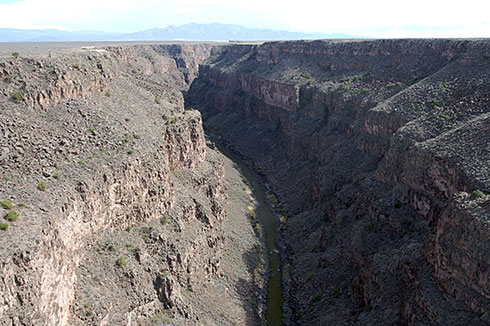
And we stumbled across this cool huge gorge the road went over on the way into town.
We then continued onto Santa Fe where we found a great restaurant offering 101 margaritas—heaven for Phil—and traditional new mexican food (as in New Mexico, the state we are in). I had the local speciality, Chille Rellanos (deep fried battered poblano chillis—big ones about 5’ long—stuffed with cheese) which was really YUM!
But Santa Fe was a little more touristy than we expected so we continued on.
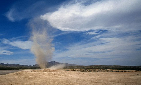
Dust Devil’s are super cool! They’re mini tornados that pick up dust and tumble weeds and spin across the landscape, and now I’ve seen four of them. I don’t have any photos as I’m typically too awed to think of that in time, but here’s a photo I stole from the internet to illustrate the idea.
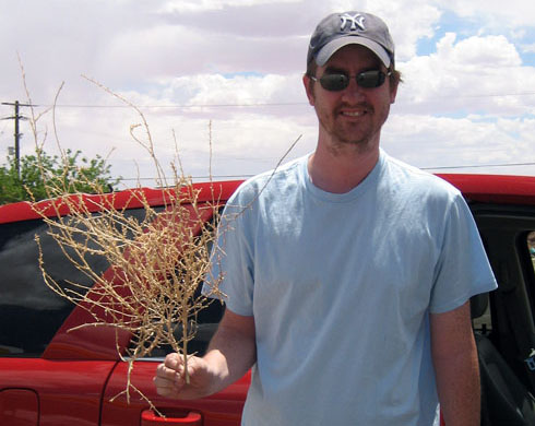
And here is Phil removing a tumble weed from the bottom of our car - we drove over it and it stuck. For those who don’t know, tumble weeds are spikey!
I’m not quite the photographer Phil is, and I don’t have any fancy equipment, but this is my post!
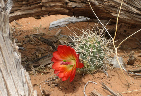
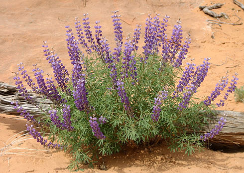
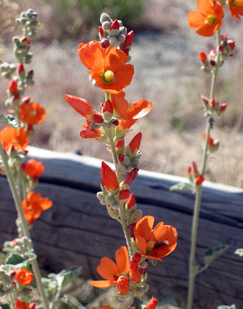
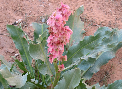
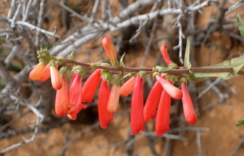
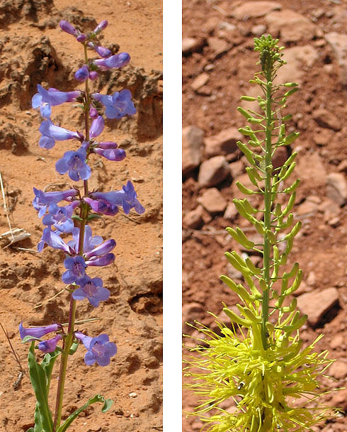
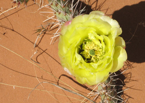
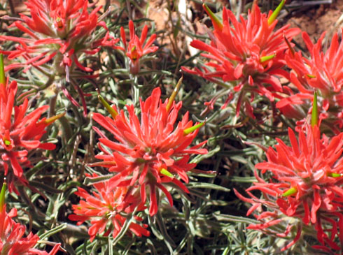
Below are some photos of some of the desert flowers we’ve seen, most of these taken at Arches National Park. The cactus flowers are particularly spectacular.
